
The place we call home
Our Region
Foothills Digest tells the stories of the North Carolina foothills and High Country — and follows the rivers, roads, people, art and ideas that connect those communities to the rest of Western North Carolina.

Northwestern North Carolina
The High Country
Here the Blue Ridge rises high, farms cling to mountain valleys, and some of North Carolina's best-known small towns sit among rivers, forests and long views.
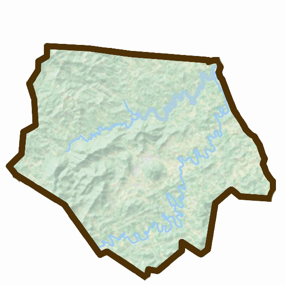
Ashe County
West Jefferson • Jefferson • Lansing • Fleetwood • Crumpler • Warrensville
Ashe County occupies North Carolina's far northwestern corner, where Christmas tree farms, mountain communities and the New River shape the landscape. West Jefferson has become a regional arts destination while the countryside remains deeply agricultural and distinctly Appalachian.
Known for: the New River, Christmas trees, mountain farms, murals, arts and traditional music.
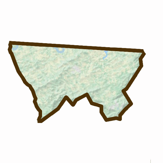
Alleghany County
Sparta • Ennice • Glade Valley • Laurel Springs • Roaring Gap
Small, high and rural, Alleghany County sits along the Blue Ridge Parkway with Sparta at its center. Farms, forests, craft traditions and mountain communities define a county that feels quieter than many of Western North Carolina's better-known destinations.
Known for: Sparta, the Blue Ridge Parkway, mountain agriculture, craft and the northern Blue Ridge.
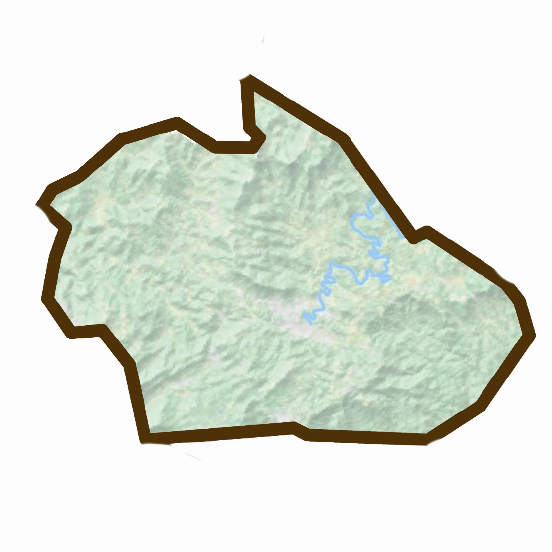
Watauga County
Boone • Blowing Rock • Valle Crucis • Deep Gap • Foscoe • Todd • Sugar Grove
Watauga County is one of the cultural centers of the High Country. Boone brings the energy of Appalachian State University into a landscape otherwise defined by steep mountains, farms, creeks and small communities. Blowing Rock, Valle Crucis and Todd each carry identities of their own.
Known for: Boone, Blowing Rock, Appalachian State, the Blue Ridge Parkway and the Watauga River.

Avery County
Banner Elk • Newland • Linville • Crossnore • Elk Park • Beech Mountain
Avery is high-mountain country, with communities surrounded by rocky summits, forests, ski slopes, farms and cold mountain streams. Tourism and agriculture share the landscape here, while craft and Appalachian traditions remain an important part of local life.
Known for: Linville, Banner Elk, high-elevation recreation, Christmas tree farms and mountain craft.

Wilkes County
Wilkesboro • North Wilkesboro • Moravian Falls • Millers Creek • Ferguson • Roaring River
Wilkes occupies the transition between mountain and foothill particularly well. Its story includes agriculture, moonshine, racing, traditional music and major gatherings such as MerleFest, along with outdoor life around the Yadkin River and W. Kerr Scott Reservoir.
Known for: MerleFest, North Wilkesboro Speedway, moonshine history, the Yadkin River and W. Kerr Scott Reservoir.
Where mountains become Piedmont
The Central Foothills & Catawba Valley
This is the geographic heart of Foothills Digest: a landscape shaped by the Blue Ridge escarpment, the Catawba River system, furniture and manufacturing, art, agriculture and towns that have reinvented themselves more than once.
Caldwell County
Lenoir • Granite Falls • Hudson • Gamewell • Cajah's Mountain
Caldwell sits directly beneath the Blue Ridge, with Hibriten Mountain rising above Lenoir and the upper Catawba Valley stretching eastward. Furniture, manufacturing, music and art all belong to Caldwell's story, while Granite Falls and Hudson connect the county directly to Lake Rhodhiss and the Catawba River.
Known for: Lenoir, Hibriten Mountain, furniture, sculpture, traditional music, Lake Rhodhiss and Wilson Creek country.
Alexander County
Taylorsville • Bethlehem • Hiddenite • Stony Point
Alexander County lies between the Brushy Mountains and Catawba Valley. It remains more rural than many neighboring counties, with farms, wooded ridges and small communities across much of its landscape. Bethlehem has grown along Lake Hickory, while Hiddenite adds an unusual mineral story.
Known for: Taylorsville, the Brushy Mountains, Hiddenite, rural landscapes and Lake Hickory.
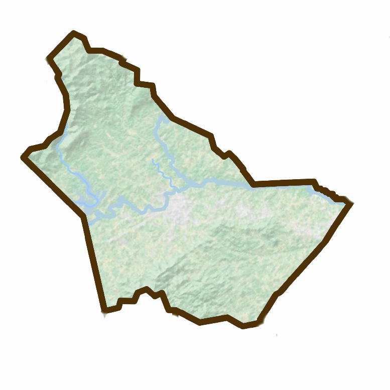
Burke County
Morganton • Valdese • Drexel • Glen Alpine • Rutherford College • Connelly Springs
Burke stretches from the Catawba River valley deep into mountain country. Morganton anchors the county, Valdese preserves an extraordinary Waldensian story, and the landscape reaches toward Lake James, Linville Gorge, Table Rock and the South Mountains.
Known for: Morganton, Valdese, Joara, Lake James, Linville Gorge, Table Rock and the Catawba River.
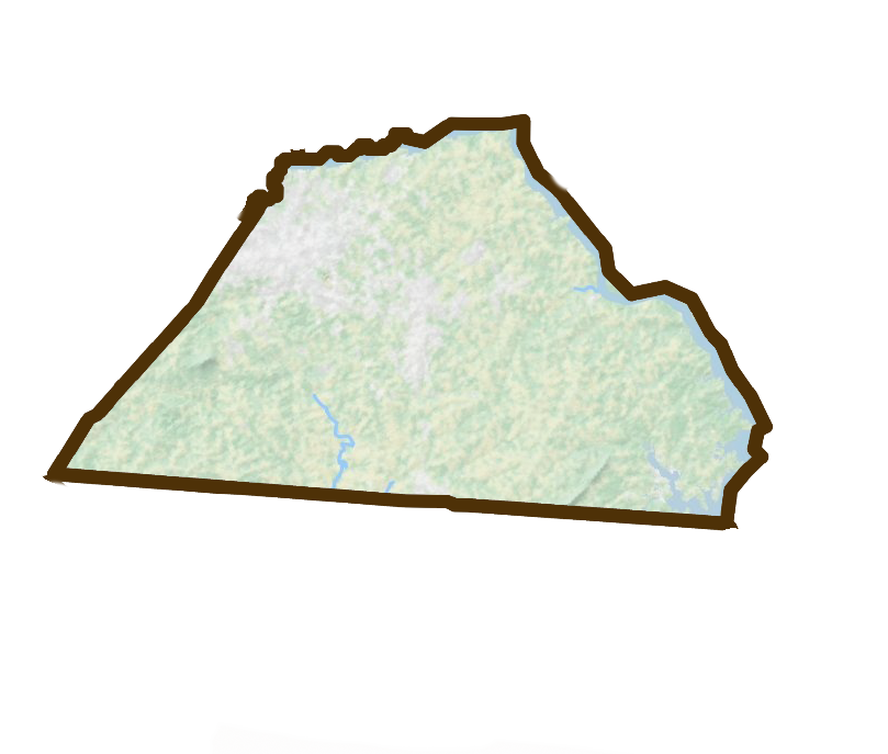
Catawba County
Hickory • Newton • Conover • Claremont • Maiden • Sherrills Ford
Catawba County is one of the anchors of Foothills Digest country. Hickory's furniture and manufacturing legacy now exists beside art, design, technology, medicine and education. Newton, Conover, Claremont and Maiden add their own histories, while the Catawba River and its lakes tie the county together.
Known for: Hickory, Newton, furniture and design, Murray's Mill, Lake Hickory, Lookout Shoals, Lake Norman and the Catawba River.
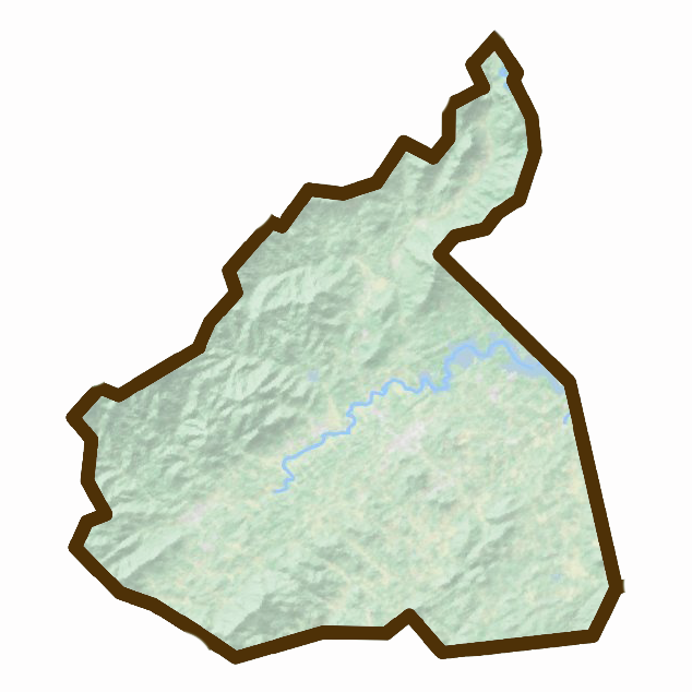
McDowell County
Marion • Old Fort • Nebo • Little Switzerland
McDowell sits at one of Western North Carolina's great geographic thresholds. Old Fort lies directly below the Blue Ridge escarpment, while Marion anchors the valley farther east. Trails, waterfalls, Lake James and the headwaters of the Catawba give the county an unusually strong connection to the landscape.
Known for: Marion, Old Fort, Catawba Falls, Pisgah National Forest, Lake James and the Blue Ridge escarpment.

Iredell County
Statesville • Troutman • Mooresville • Harmony • Love Valley
Iredell is where several versions of North Carolina meet. Statesville retains the history of a transportation and trading center, southern Iredell has been transformed by Lake Norman, and the northern and western portions of the county remain much more rural.
Known for: Statesville, Lake Norman, Mooresville, racing, transportation history and the foothills-to-Charlotte corridor.
Our reporting follows the mountains west
The Western Mountains
These are mountain communities in their own right — not an extension of the foothills — but rivers, roads, art traditions, outdoor culture and shared Appalachian history make them part of the wider region Foothills Digest explores.
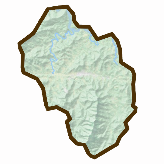
Yancey County
Burnsville • Micaville • Pensacola
Yancey lies beneath the highest terrain in the eastern United States. Burnsville anchors a county of steep mountains, farms, forests and a strong creative community connected to the broader Toe River arts region.
Known for: Burnsville, Mount Mitchell, the Black Mountains, artists and mountain farms.
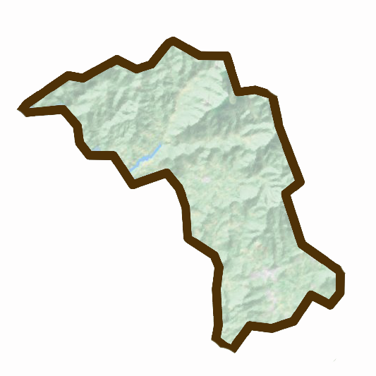
Mitchell County
Spruce Pine • Bakersville • Little Switzerland
Mitchell County is a place where geology has shaped culture. The Spruce Pine mineral district has global importance, while Bakersville and the surrounding Toe River communities support an extraordinary concentration of potters, glass artists, jewelers and other makers.
Known for: Spruce Pine, Bakersville, minerals and quartz, Penland-area craft and the Toe River arts community.
Our western reach
Foothills Digest's stories, readers and retail network now reach farther into Western North Carolina. These counties are part of that connected regional conversation.
Buncombe County
Asheville • Black Mountain • Swannanoa • Weaverville
Art, music, food, regional institutions and the French Broad River make Buncombe the urban center of Western North Carolina.
Henderson County
Hendersonville • Flat Rock • Fletcher • Mills River
Mountain valleys, apple country, arts and a strong historic downtown define this rapidly growing part of the region.
Transylvania County
Brevard • Rosman • Pisgah Forest
Waterfalls, Pisgah National Forest, the headwaters of the French Broad, music, art and Brevard's famous white squirrels.
Haywood County
Waynesville • Canton • Maggie Valley • Clyde
High mountains, the Pigeon River, industry, farms and some of Western North Carolina's best-known mountain communities.
Jackson County
Sylva • Dillsboro • Cullowhee • Cashiers
The Tuckasegee River valley, Western Carolina University, high-elevation communities, art and outdoor life.
Swain County
Bryson City • Cherokee • Nantahala
Great Smoky Mountains National Park, the Nantahala, outdoor recreation and the living culture of the Eastern Band of Cherokee Indians.
Macon County
Franklin • Highlands
Gem and mineral history, the Little Tennessee River, high-elevation landscapes, waterfalls and conservation.
Toward the Broad River & South Mountains
The Southern Foothills
Here the Blue Ridge gives way to rolling western Piedmont. Revolutionary history, old mill towns, gold, rivers, farms and dramatic isolated peaks all belong to the story.

Rutherford County
Rutherfordton • Forest City • Spindale • Lake Lure • Chimney Rock • Bostic
Few counties show the mountain-to-foothill transition as dramatically as Rutherford. Lake Lure and Chimney Rock sit against the Blue Ridge escarpment while Rutherfordton, Spindale and Forest City occupy gentler country farther east.
Known for: Lake Lure, Chimney Rock, Rutherfordton, Forest City, Bechtler gold and the Broad River country.
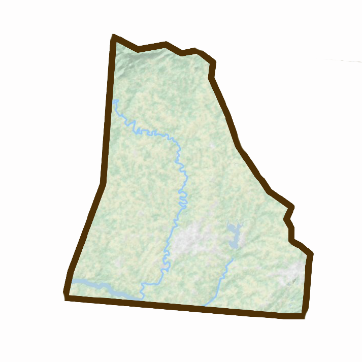
Cleveland County
Shelby • Kings Mountain • Boiling Springs • Fallston • Lawndale
Cleveland occupies the southern edge of the foothills. Shelby is the county's cultural center, while farms, former textile communities, the Broad River and Revolutionary history connect the wider landscape.
Known for: Shelby, Kings Mountain, music history, the Broad River and the southern foothills.

Lincoln County
Lincolnton • Denver • Vale • Iron Station
Lincoln stretches from historic Lincolnton toward fast-growing Lake Norman communities. Its western and northern areas retain a landscape of farms, woods and smaller communities, while the eastern side increasingly reflects Charlotte-region growth.
Known for: Lincolnton, Revolutionary history, Lake Norman, the South Fork Catawba and rural western Piedmont.
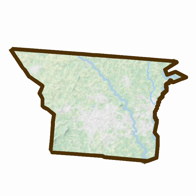
Gaston County
Gastonia • Belmont • Mount Holly • Cherryville • Dallas • Cramerton
Gaston lies largely in the Piedmont, but its western edge and cultural history remain closely tied to the southern foothills. Textile communities, the Catawba and South Fork rivers and the abrupt rise of Crowders Mountain give the county a distinct regional identity.
Known for: Crowders Mountain, textiles, mill communities, Gastonia, Belmont and the Catawba River corridor.
The places our region connects to
Our Piedmont Connections
The foothills do not end culturally at a county line. People move constantly between our region and cities to the east for work, art, education, health care, shopping and family. We include these places as part of our reach without pretending they are geographically in the foothills.
Surry County
Mount Airy • Dobson • Elkin • Pilot Mountain
The northern foothills meet the Yadkin Valley here, with music, vineyards, granite, agriculture and some of the region's most recognizable landscapes.
Davie County
Mocksville • Bermuda Run • Cooleemee
Historic communities east of the traditional foothills remain closely connected to the Yadkin River and western Piedmont.
Forsyth County
Winston-Salem • Kernersville • Clemmons
Moravian history, industry, art, medicine and transportation make Winston-Salem an important eastern connection for Western North Carolina.
Davidson County
Lexington • Thomasville
Furniture, textiles, agriculture, barbecue and the Yadkin-Pee Dee system connect Davidson to stories that begin farther west.
Cabarrus County
Concord • Kannapolis • Harrisburg
A historic Piedmont center now shaped strongly by the Charlotte metro region, racing and rapid growth.
Mecklenburg County
Charlotte • Huntersville • Davidson
Charlotte is not the foothills, but the Catawba River, reservoirs, economy and transportation network connect it directly to the mountains and foothills upstream.
The lines that matter more than county borders
A Region Connected by Water
County lines are useful. Rivers often tell the story better. They determined where people settled, powered mills and factories, became reservoirs and drinking-water supplies, carved gorges, flooded towns, supported rare species and created places where generations have swum, fished, paddled and gathered.
To understand Western North Carolina, you have to understand its water. And once you begin following the water, it becomes obvious how deeply these communities are connected.
More than geography
A Region Made by People
Landscape is only part of the story. This region has been shaped by Indigenous people whose history reaches thousands of years before North Carolina existed; by farmers and factory workers; potters, painters and musicians; furniture makers and textile workers; Black communities whose stories were too often omitted from older accounts of Appalachian history; immigrant communities; entrepreneurs, teachers, conservationists and generations of people who simply chose to make a life here.
Foothills Digest exists to tell those stories — sometimes from a mountaintop, sometimes from an archive, beside a river, inside an artist's studio, in a tiny museum, or in conversation with someone who remembers what used to stand where an empty lot sits today.
This is our region
The boundaries will always be a little fuzzy.
That's appropriate. The foothills themselves are a transition — not a wall between mountain and Piedmont, but the place where one becomes the other.
That in-between place is home.