12″x18″ Framed Print of Steve Abee
January 20, 2024
Kiln Poster with hanger
January 20, 2024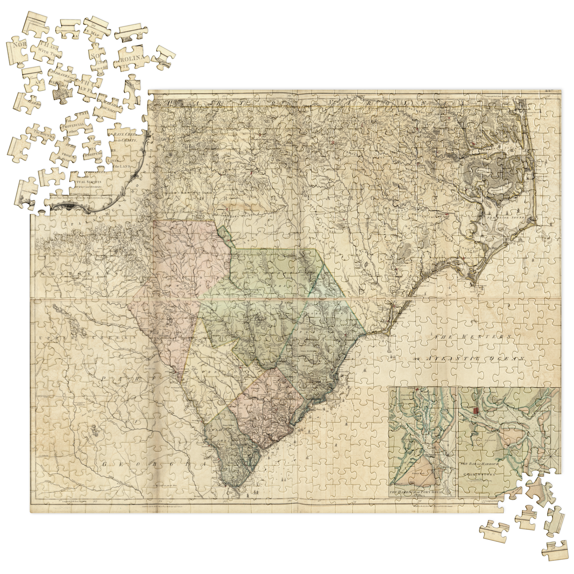
Puzzle of 1775 Map of North Carolina
$32.00
Assembling puzzles is the perfect family bonding activity. Treat yourself to a unique puzzle and gather your loved ones for an evening filled with joy and teamwork.
This map shows what North Carolina was like before the Revolution. From the listing in the Library of Congress: An accurate map of North and South Carolina with their Indian frontiers, shewing in a distinct manner all the mountains, rivers, swamps, marshes, bays, creeks, harbours, sandbanks and soundings on the coasts; with the roads and Indian paths; as well as the boundary or provincial lines, the several townships and other divisions of the land in both the provinces;
• Pressed paper chipboard with adhesive, 0.06″ (1.53 mm) thick
• 252 pcs puzzle size: 10.62″ × 13.62″ (27 × 34.6 cm)
• 520 pcs puzzle size: 15.74″ × 19.74″ (40 × 50.1 cm)
• Digitally printed
• Semi-gloss finish
• Vibrant colors
• Can be used as wall decor
• Blank product components sourced from the US
Warning: Choking hazard—small parts. Not for children under 3 years.
Important: This product is available in US only. If your shipping address is outside this region, please choose a different product.
| Weight | 0.3 lbs |
|---|
Related products
-
I’ll Throw an Appalachia T
Price range: $15.50 through $20.00 -
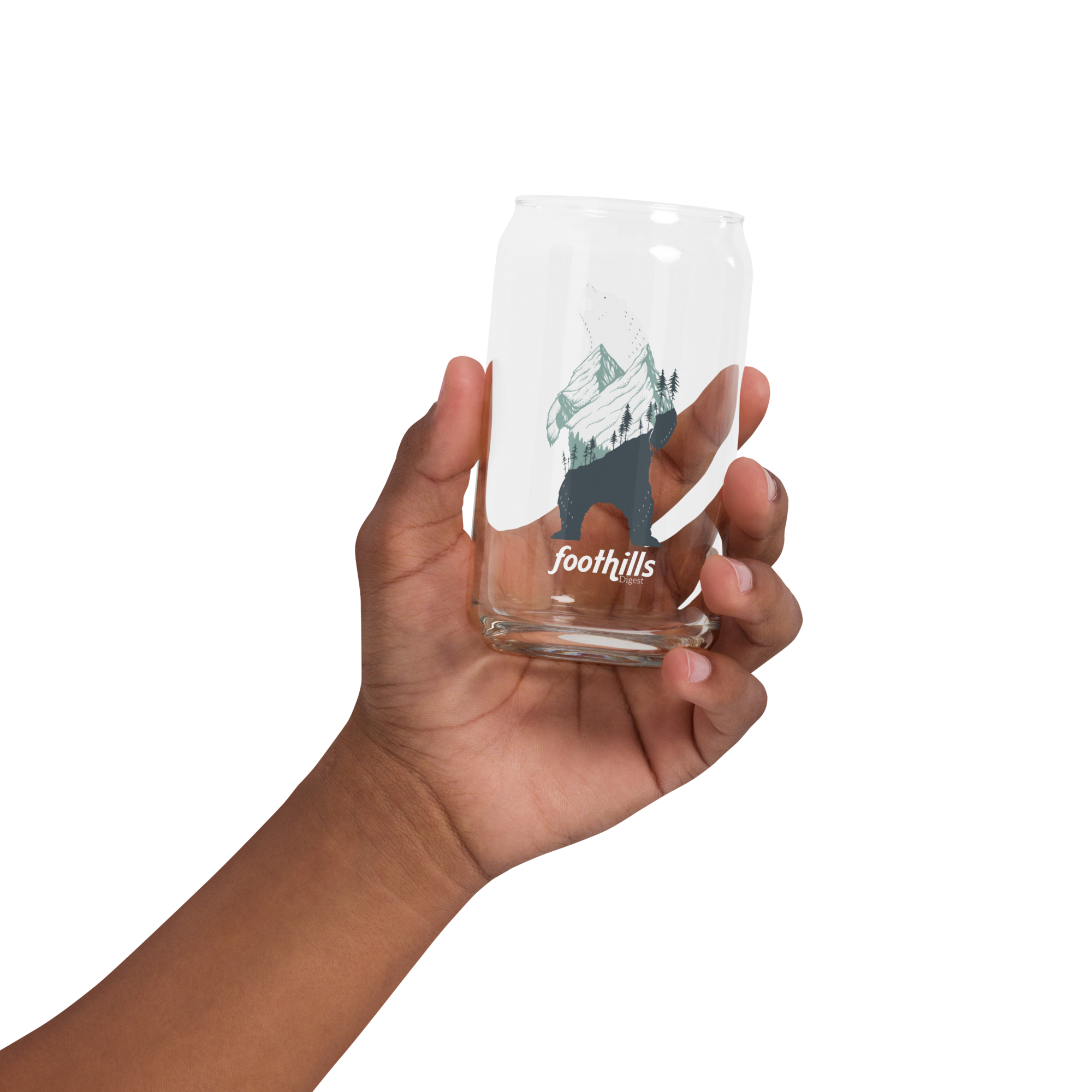
Can-shaped glass
$12.00